Franklin and the Green River Gorge: a Lomographic Fisheye Perspective
As I mentioned in my previous post on the subject, I brought the Lomographic Fisheye down with me.
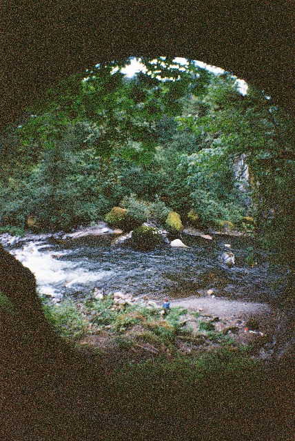 The view from where the other photos were taken. This is about 20-30ft above the river level.
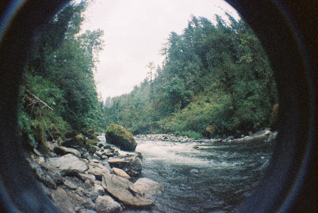
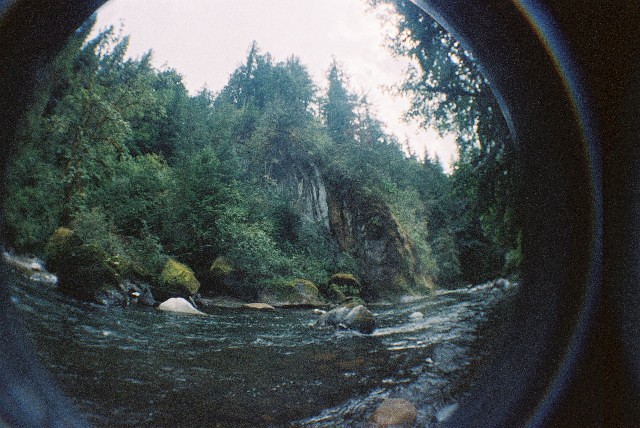 The view of the mine cart location from the water level.
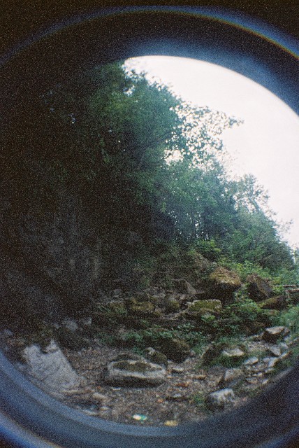 A view back up the hill, the final stage of the path is narrow and steep. There are some aids to getting down, "steps" have been created.
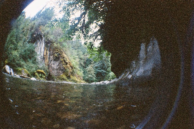 This is the view to the south, the cliff face to the right is where the fern is growing.
 The river to the north.
Thanks for looking, and as always, feel free to comment!
The river to the north.
Thanks for looking, and as always, feel free to comment!
The view from where the other photos were taken. This is about 20-30ft above the river level.
The view of the mine cart location from the water level.
A view back up the hill, the final stage of the path is narrow and steep. There are some aids to getting down, "steps" have been created.
This is the view to the south, the cliff face to the right is where the fern is growing.
The river to the north.
Thanks for looking, and as always, feel free to comment!


Comments
Post a Comment